UmaTerra
One Earth to all.
A set of open source geospatial analysis tools for understanding the interactions between land, climate and society in Brazil and other countries — land cover, biodiversity, indigenous territories and conservation units, rural cadastre and climate risk, all from the same satellite data and public records. This portal is not a commercial product, but rather a research and open source development initiative, with the goal of sharing knowledge, resources and technology for territorial and environmental management.
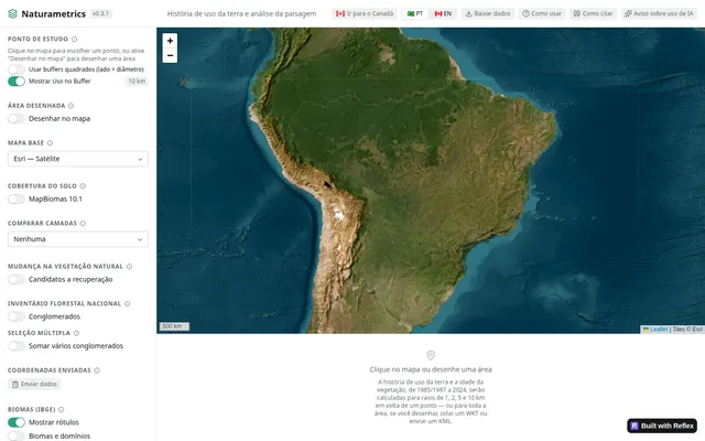
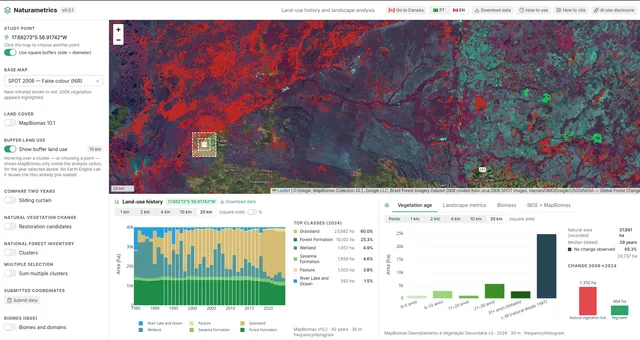
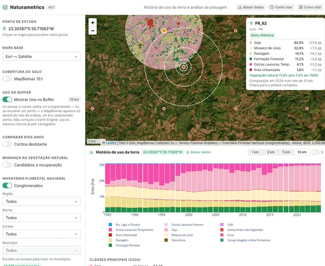
Study interface: analysis point, MapBiomas layers and the National Forest Inventory.
Naturametrics
Land use history and landscape analysis
Reconstructs land use history and vegetation age at any point or drawn area, cross-referencing MapBiomas, the National Forest Inventory, and IBGE biomes.
Who it's for
- Forestry & ecological research
- Land use analysis
- National Forest Inventory
Example use: Compare land cover between 1985 and 2024 within a 10 km radius around a farm.
Open Naturametrics →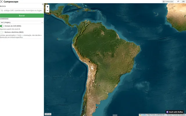
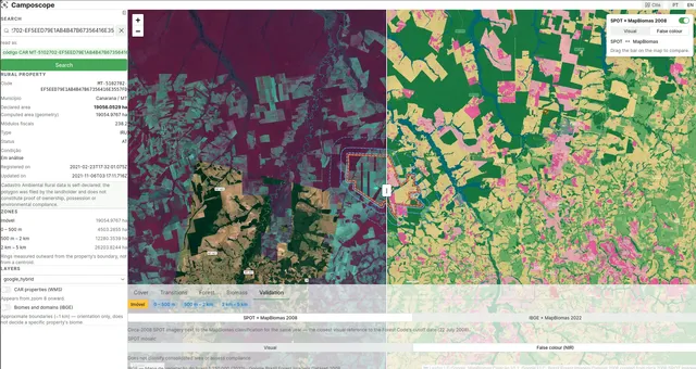
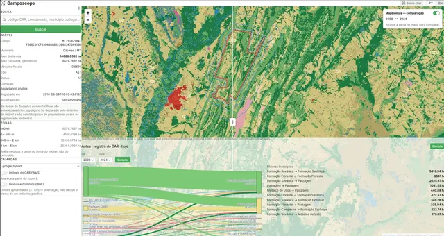
Search by CAR code, coordinate, or municipality, with CAR and IBGE biome layers.
Camposcope
Rural property lookup via CAR
Search by CAR code, coordinate, or municipality and see the property boundary over satellite imagery, cross-referenced with IBGE biomes and domains.
Who it's for
- Rural landowners
- Communities
- General public
Example use: Check whether a property with a CAR code overlaps a conservation unit before a purchase.
Open Camposcope →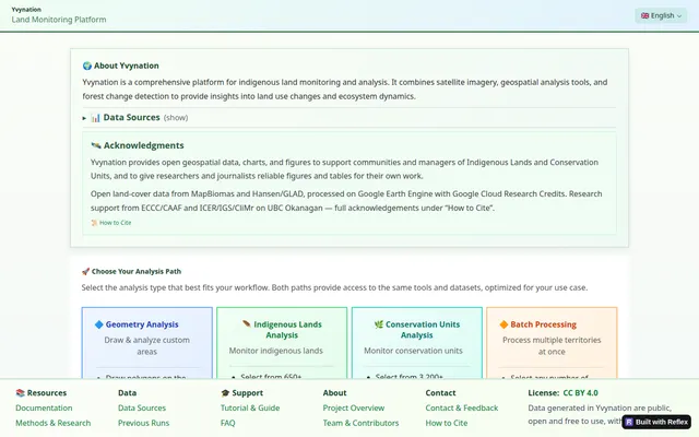
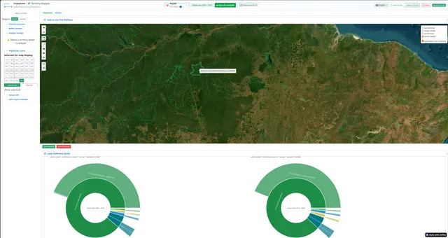
Home panel, with the four available analysis paths.
Yvynation
Monitoring indigenous lands and conservation units
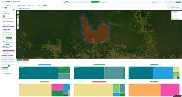
Combines satellite imagery, MapBiomas, and deforestation detection (Hansen/GLAD) to analyze land use and ecosystem dynamics on indigenous lands and protected areas — with batch processing for multiple areas at once.
Who it's for
- Indigenous land managers
- Conservation units
- Researchers and journalists
Example use: Track annual deforestation inside a specific indigenous territory and export a report.
Open Yvynation →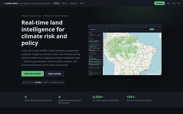
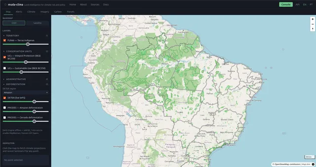
Homepage: product overview and key stats.
Clima
Land intelligence for climate risk and policy
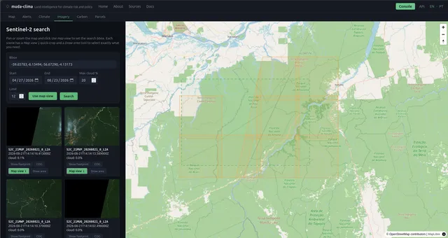
Fuses satellite change detection, government cadastres, indigenous territorial data, and climate models into a single parcel-keyed layer, for Brazil and Canada.
Who it's for
- Governments & policy
- Conservation efforts
- Communities & NGOs
- Researchers and journalists
Example use: Cross a carbon project polygon with near real-time deforestation alerts (DETER).
Open Clima →
Support UmaTerra
All four tools are open and free: no ads, no sign-up, no data sold. The code is open source and the sources are public — MapBiomas, Hansen/GLAD, Copernicus, IBGE, INMET and SICAR. What keeps the project running is volunteered time and a cloud bill.
Cost transparency
- Compute for the four tools (Cloud Run)
- ~US$ 34/mo
- Database, container images and storage
- ~US$ 18/mo
- Google Earth Engine — 350 to 700 EECU-hours
- ~US$ 150–300/mo
- True cost of running it
- ~US$ 200–350/mo
None of this is billed today: the infrastructure runs on Google Cloud Research Credits and Earth Engine is used under a noncommercial-use registration, within the free quota. Institutional support is what carries the project when those programmes change — and what keeps the tools free, open and ad-free.
What would this analysis cost?
Open source doesn't mean cost-free.
UmaTerra's tools are free to use. Below is an estimate of what the same processing would cost if you had to pay for it — the value the platform absorbs to keep research and knowledge accessible.
- Earth Engine processing
- Equivalent Earth Engine cost
- Equivalent server cost
- Covered by the platform
- You pay
- US$ 0
An estimate, not an invoice. Derived from the platform's own measured usage: US$ 0.42 per Earth Engine EECU-hour and US$ 0.24 per server hour, assuming roughly 4 analyses per hour of use and a per-analysis cost that grows with area. Longer time series and larger areas consume more.
Ways to help
Institutional support
Universities, NGOs, institutes and public agencies can back the project with an annual contribution. Access stays free and open to everyone — supporters are credited on this page and help set what comes next.
Talk about institutional support →Individual support
Recurring contributions help cover the infrastructure once the research credits run out.
GitHub Sponsors →Cite and credit
If you use data, charts or figures in research, teaching or reporting, cite the platform and the original sources. Each tool ships ready-to-use citation text.
Contribute code
Fixes, translations, bug reports and new analyses are welcome in the open repositories.
Repositories on GitHub →
Supported by
- Google Cloud Research CreditsCloud infrastructure
- Google Earth EngineNoncommercial-use registration
- UBC graduate study grantsResearch funding
- Climate Action and Awareness Fund (Canada)Research funding
- inma.gov.brTechnical validation & feedback
- mgi.gov.brTechnical validation & feedback
- florestal.gov.brTechnical validation & feedback
- MapBiomasLand use and cover data
- GLAD / Global Forest Watch (University of Maryland)Land use and cover data
Institutional supporters are credited here.